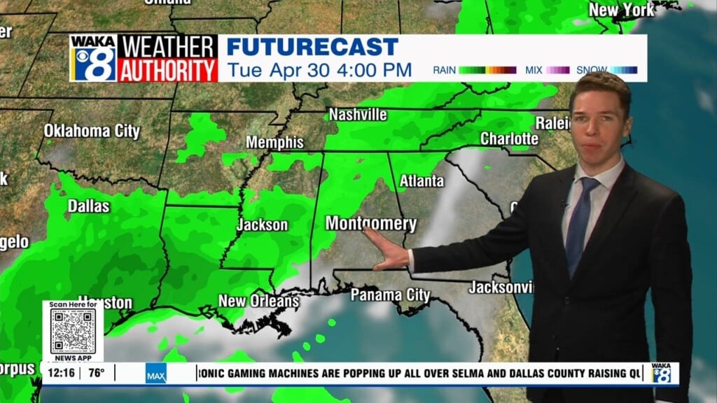
Umbrella Alert !
A frontal boundary is moving our way and this system will help generate the next round of rain over the area. Showers and t-storms develop ahead and along a fairly quick moving frontal system Thursday. There could be a few strong storms but we don’t see much more than that. Rainfall potential of .50 to 1″ will be possible with this system. It’s back to sunny and dry conditions just in time for the upcoming weekend. High pressure will provide the nice weather that will hang around into the middle of next week. You can expect morning temps around 50 and afternoon highs in the upper 70s and lower 80s. Looks like our next rain maker will hold off until the latter half of next week.


